AIOFAR’s aim is to improve ocean farming performance by studying the feasibility of farms based on the selected area and monitoring threads that can affect already existing ocean farms such as harmful algal blooms, ocean acidification and harsh weather conditions. This goal is achieved by analysing several sources of input data: multispectral images and marine data parameters from Copernicus program, positioning information from GNSS satellites, in-situ data obtained through deployed IoT devices, and feasibility databases from specialised organisations. All this data is evaluated using artificial intelligence and other advanced processing techniques.
This idea has been already awarded the 3rd place prize by the EU Farming by satellite program 2020, a joint initiative of the GSA and the EEA that rewards young innovators exploring the use of data and signals from the European space programmes Galileo, EGNOS, and Copernicus to improve agriculture and reduce environmental impact.

Contact the team on LinkedIn or by Email
You can find ongoing research here:
- GNSS+ ION 2021
- IAC Dubai 2021
- Workshop “Live demonstration of data processing using artificial intelligence and satellite data for ocean farming applications”
Team
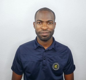
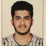
| Eva Fernández Rodríguez | Zahra Okba | Elisée Tchana |
|---|---|---|
|
Project Manager |
Scientist Manager | Technical Manager |
 |
 |
 |
| Cristhian Timote | Lisah Ligono | Minh-Trang Nguyen Thi |
|---|---|---|
| GNSS team member | EO data processing team member | EO data processing team member |
 |
 |
 |

